ABOUT US
Operational laboratory for internal use and external services under contract or agreement. The Laboratory is equipped with instrumentation for the study of hazards and risks associated with extreme hydrogeomorphological events, as well as for the analysis of climatic, geomorphological, and environmental processes.
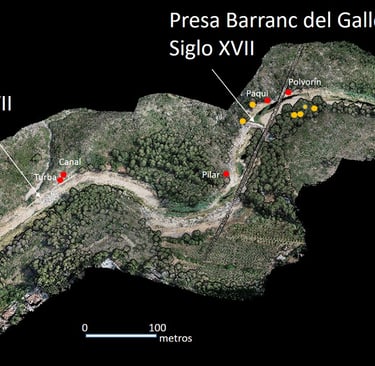
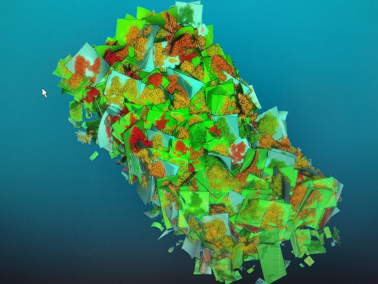
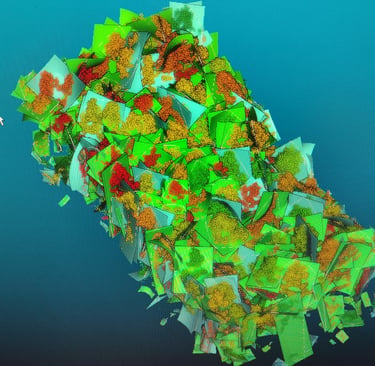
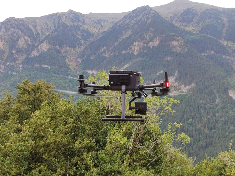
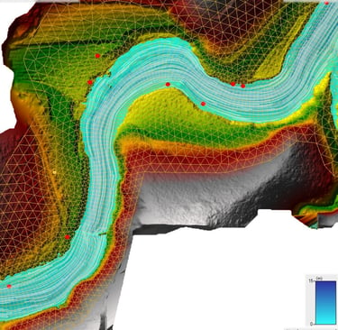
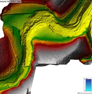
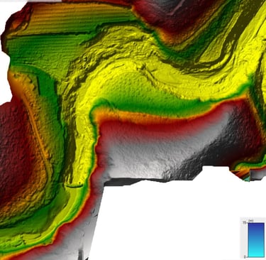
High precision topographic surveys
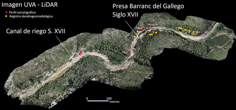
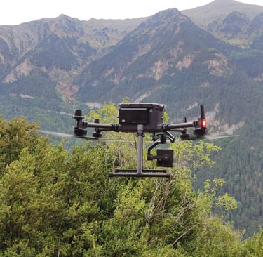
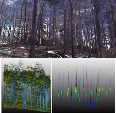
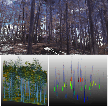
We transform the physical environment into high‑fidelity digital models through the use of remote sensing technologies and RPAS (drone) systems. Our methodology integrates ground control supported by dual‑frequency GNSS equipment to ensure centimeter‑level accuracy in each project, together with airborne and terrestrial LiDAR data. We carry out the complete workflow, from large‑scale data acquisition to the generation of dense point clouds, georeferenced orthomosaics, and digital elevation.
Analysis of satellite imagery, orthorectified images, and multispectral imagery
The laboratory provides satellite image analysis services for applications such as land‑use change detection, fluvial morphodynamics, and forest management, among others. We work with Sentinel‑2 imagery processed using Google Earth Engine, orthophotos, and drone imagery (Phantom or Mavic 3 Pro) acquired with multispectral cameras. Data characterization is carried out using machine learning algorithms, mainly Support Vector Machine and Random Forest.
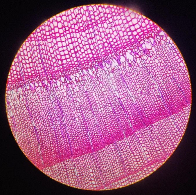
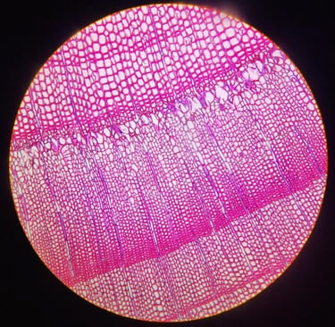
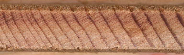
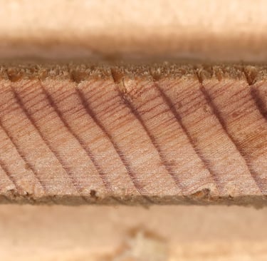
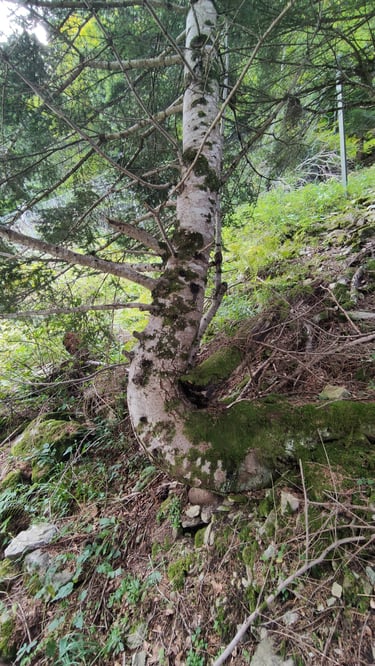
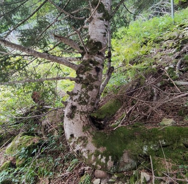
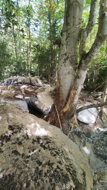
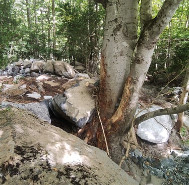
Dendrochronological analyses
The laboratory, within the field of dendrochronology, conducts studies: (i) dendrogeomorphological analyses focused on determining hazards and risks associated with natural events such as flash floods, snow avalanches, landslides, or rockfalls in the context of climate change; (ii) dendroclimatological studies aimed at reconstructing past climate conditions (precipitation, temperature, droughts); and (iii) dendroecological research to assess aspects related to forest ecology or even the dating of wood remains. To this end, information contained in the growth-ring records of trees and shrubs is used. This service may include sampling, sample preparation, and subsequent analysis.
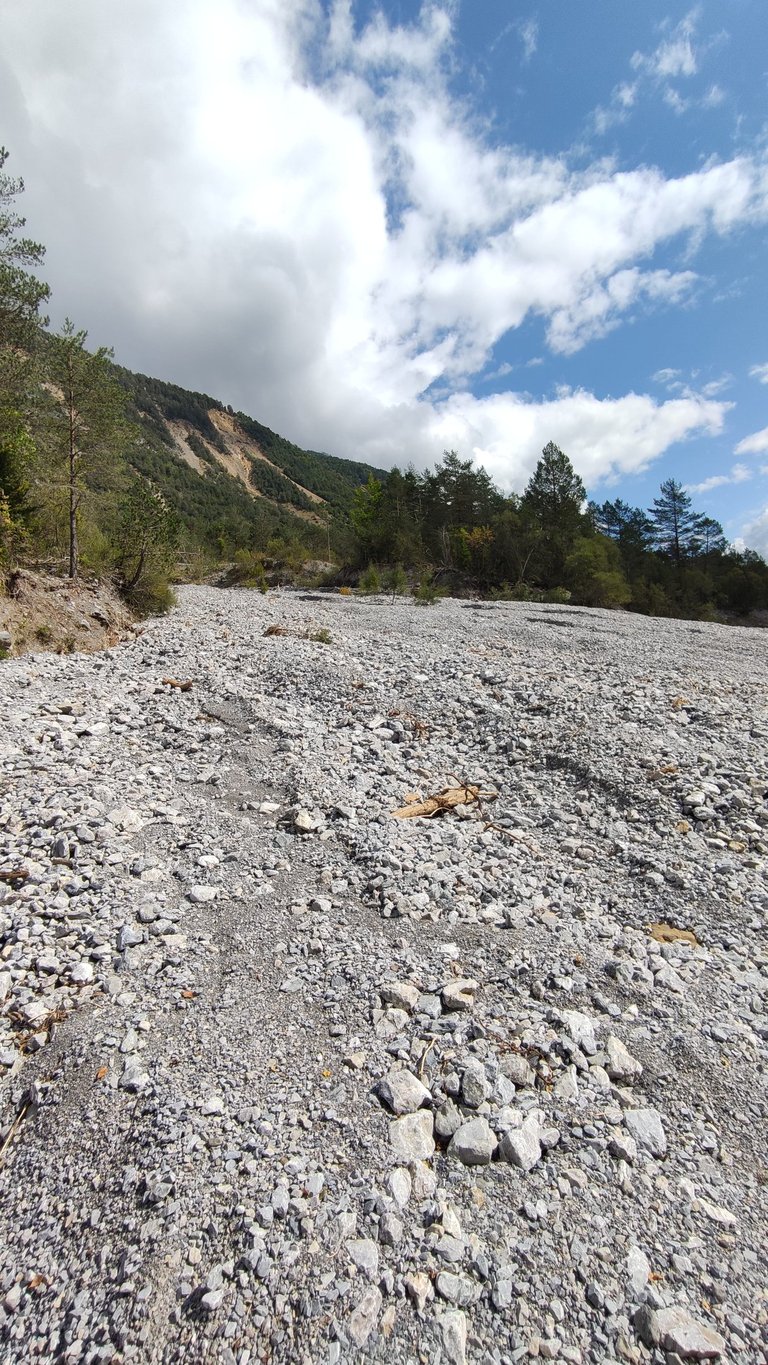
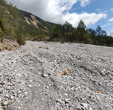
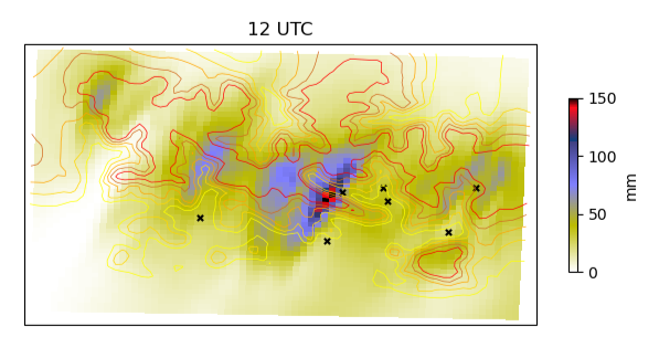
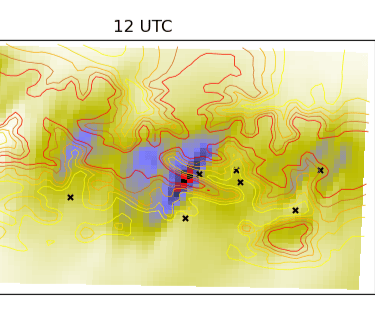
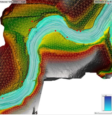
Hydroclimatological process modeling
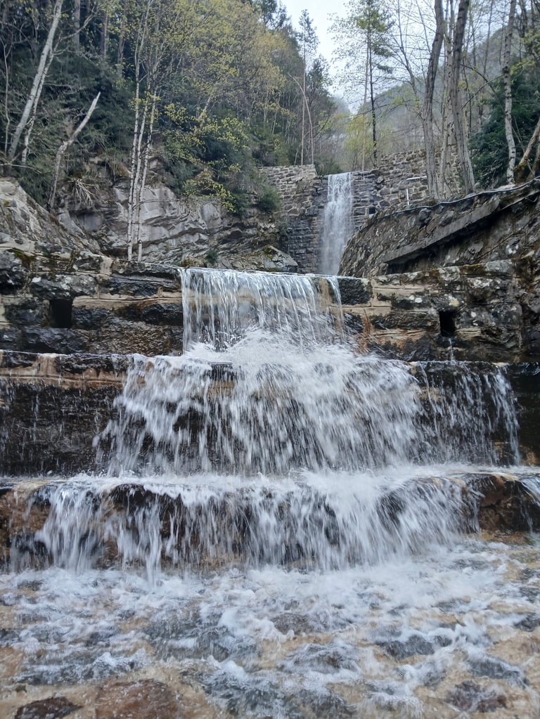
The laboratory provides monitoring and modeling services for hydrological and climatic processes. Specifically, observed climate data are analyzed, and ad hoc climate models are developed based on the Weather Research and Forecasting (WRF) model. The laboratory specializes in the paleohydrological analysis of river basins, particularly in the reconstruction of paleofloods, debris‑flow processes, snow avalanches, landslides, and rockfalls. These studies incorporate numerical simulations of Newtonian and non‑Newtonian flows (with high solid concentrations). Finally, the laboratory has experts in the statistical analysis of hydroclimatological and hydraulic data.
Nature‑based solutions to mitigate natural hazards
The laboratory provides consultancy services and assessments of the capacity of forest systems to mitigate extreme hydrogeomorphological events. The laboratory has experience in the co‑design and co‑implementation of sustainable strategies for the reduction of snow avalanches and rockfalls in the Pyrenees.