Sistemas de protección, alerta y prevención para riesgos naturales (RNs) de desencadenamiento rápido en pequeñas cuencas vertientes de montaña (RISKRAPID)
Abstract
RISKRAPID is a project aimed at strengthening response and prevention systems for highly hazardous natural phenomena characterized by high intensity and rapid onset. These events often occur in small mountain catchments and can quickly generate critical risk situations for infrastructure, communities, and human activities.
To address these challenges, RISKRAPID focuses on the development of advanced methodologies, tools, and forecasting and early warning systems. These innovations are designed to support both land managers and local populations, providing effective prevention measures and robust decision-support mechanisms to reduce risk and enhance safety.
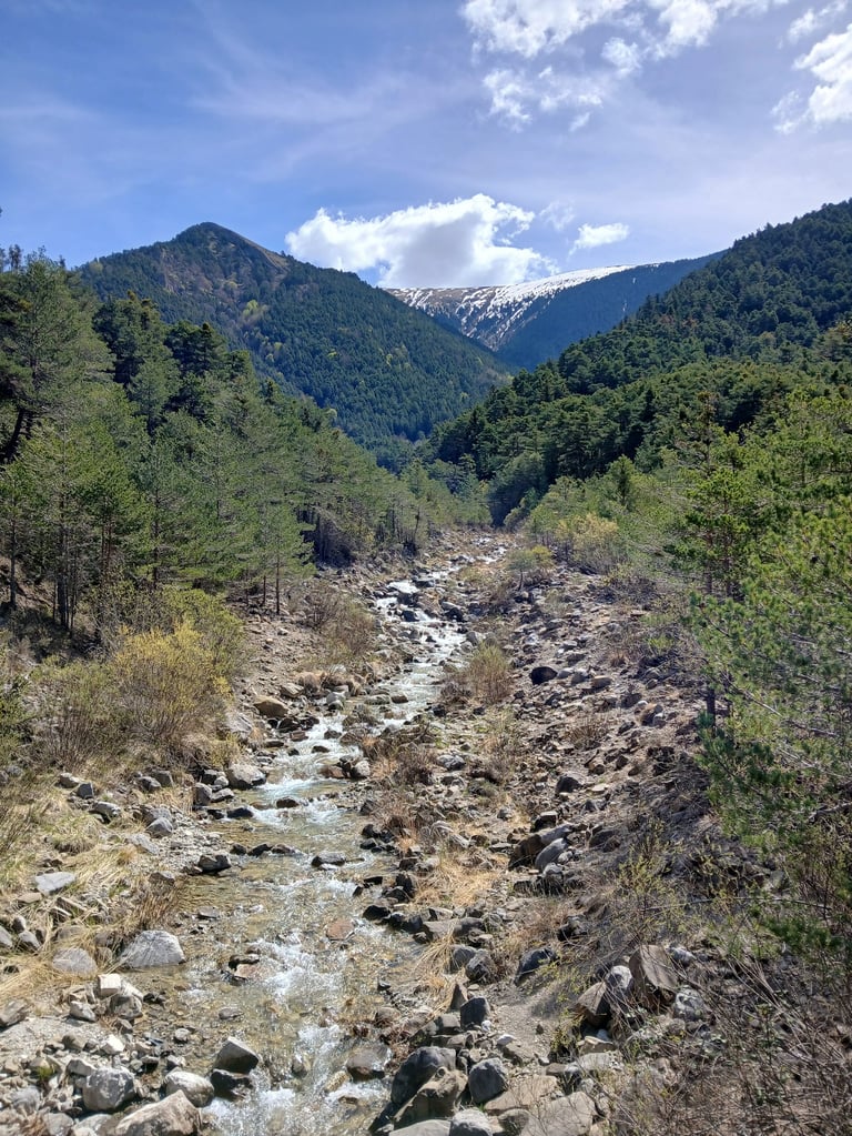
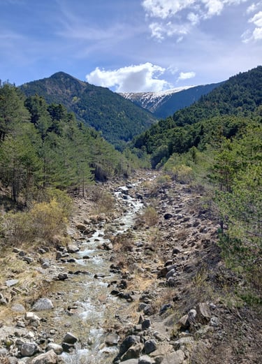
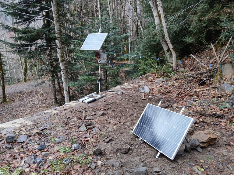
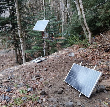
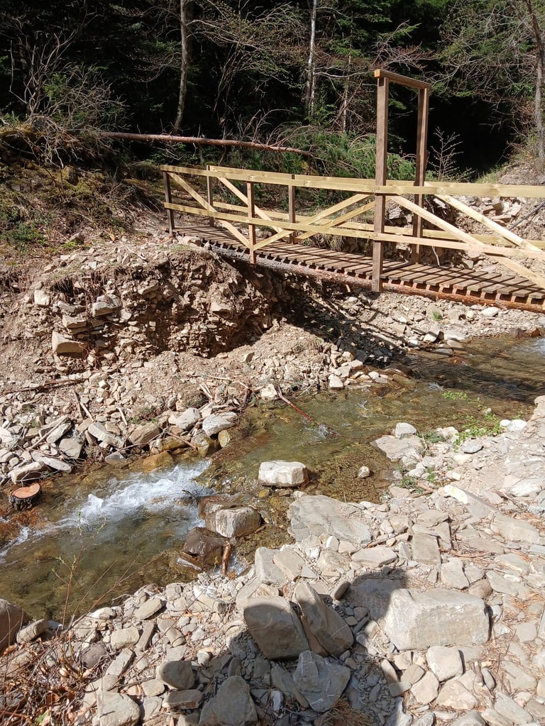
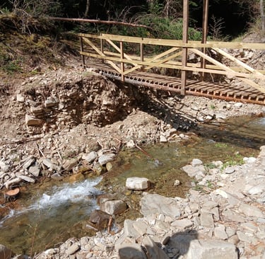
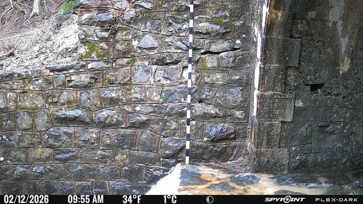
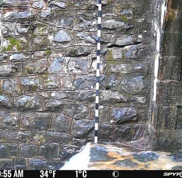
The project concentrates on two major natural hazards that are particularly frequent in the Pyrenees: torrential floods and rockfalls. A central objective is the creation of a monitoring network across several small mountain catchments (less than 50 km²), where these processes can pose serious threats to urban areas, transport infrastructure, and economic activities.
Building on this monitoring capacity, and within the broader context of climate change, which is expected to intensify these hazards, RISKRAPID implements advanced analysis and risk assessment systems. These systems make it possible to anticipate dangerous conditions and issue early warnings when risk levels become unacceptable.
The project is strongly supported by emerging technologies, including big data, artificial intelligence (AI), LiDAR, satellite imagery, and numerical modeling. Together, these tools enable more accurate predictions, faster response times, and more effective risk mitigation strategies in vulnerable mountain environments.
Partners